
Who Keeps the Flight Schedule and Field Crew in Sync?
✨Key Takeaways
- Effective drone operations coordination connects pilots, field crews, geologists, permits, weather conditions, equipment, and survey objectives.
- FAA-certified remote pilots remain responsible for safe commercial drone operations, including preflight inspections, airspace compliance, and operational decisions.
- Clear UAS survey planning prevents safety incidents, unusable data, project delays, and costly repeat flights.
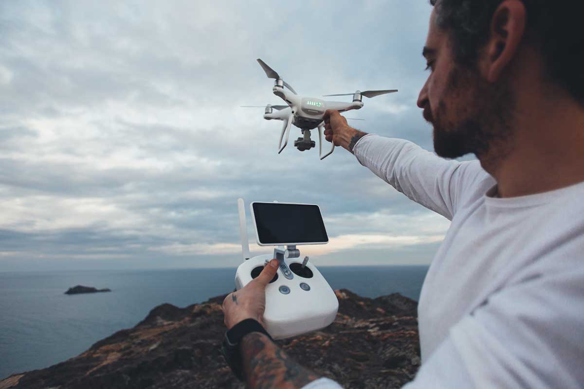
Long before a drone lifts off over a remote exploration site, a drone operations coordinator, project manager, remote pilot, and field supervisor have already made dozens of connected decisions.
In the United States, FAA Part 107 places direct responsibility on the remote pilot in command.
Commercial operations may require pilot certification, drone registration, airspace authorization, weather assessment, visual-line-of-sight planning, and a complete preflight inspection.
The FAA’s LAANC system now covers more than 726 airports, while complex authorization requests may require advance coordination.
A real example comes from the U.S. Geological Survey’s aerial mapping team.
USGS reports that one multi-platform survey may require approximately five people, including pilots, survey crew, a visual observer, and a data recorder, to map roughly 0.5 to 1 square kilometer per day.
The coordination team must ensure that:
- The flight boundary matches the geologist’s actual data requirements.
- Weather, airspace, permits, and land access support the planned schedule.
- Batteries, sensors, ground control points, and backup equipment are ready.
- Pilots and field crews understand their individual safety responsibilities.
- Collected data uses the correct coordinates, resolution, and file format.
- Delays or changing site conditions are communicated before they affect the survey.
These professionals may receive little attention in the final project report, but their drone project management determines whether the operation produces accurate, usable data, or an expensive flight that must be repeated.
Outside the United States, teams should follow the equivalent aviation, land-access, environmental, and workplace-safety requirements in the project’s jurisdiction.
The Coordinator Behind the Coordinates
Exploration companies tend to imagine drone work as a single event: the flight itself.
In practice, the flight is the shortest part of the sequence.
The role that keeps everything moving is closer to a logistics manager than a pilot.
This person tracks which sites are due for repeat flights, which crews are on rotation, which equipment needs recalibration, and which stakeholders are waiting on the resulting data before they can plan a drill program.
It is a job built almost entirely on anticipating friction before it happens, and the best coordinators are the ones nobody notices, because nothing ever seems to go wrong on their watch.
A Morning That Starts Before the Drone Does
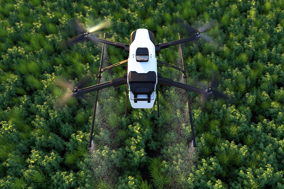
On a typical field day, the coordination happens in layers.
The pilot arrives to check airspace clearance and battery charge.
The GIS technician confirms that the flight plan aligns with the boundaries the geology team marked the week before.
A field assistant places or checks ground control points that will later anchor the imagery to real-world coordinates.
None of this is glamorous, and much of it looks like paperwork and radio calls rather than technology.
But this is the actual daily texture of the work, and it is why exploration teams increasingly rely on firms that treat coordination as a discipline in its own right rather than an afterthought to flying.
That discipline is what separates a single flight from a usable dataset.
A geology team that hires a firm for drone mapping services is not simply buying aerial photographs.
It is buying the sequence of scheduling, calibration, and handoff that turns a flight into a geological model someone can act on.
The value sits less in the drone itself and more in the people who make sure the drone arrives at the right place, at the right time, with the right ground truth already prepared to receive its data.
The Middle of the Chain Nobody Sees
After the flight, the routine shifts indoors.
A processing technician stitches raw imagery into orthomosaics and point clouds, checking for gaps or distortion before anyone downstream sees the result.
A data manager logs the flight against the project’s coordinate system, version, and file naming conventions, because a single mislabeled folder can cost a field crew a full day of confusion months later when they try to compare surveys.
These administrative habits sound unremarkable, but the National Institute of Standards and Technology has long emphasized how much reliable measurement depends on exactly this kind of consistency, the quiet insistence on doing the same thing the same way every time so that data collected in March means the same thing as data collected in November.
This is the part of the field that rarely gets described in client presentations.
Everyone wants to talk about resolution and accuracy, and rightly so, but resolution and accuracy are downstream outcomes of a coordination routine that started weeks earlier with someone checking a calendar and a checklist.
The infrastructure of the work is administrative as much as it is technical, and the people who run that infrastructure are as essential to the final map as the drone that captured the imagery.
Handoff Day
Every project eventually reaches the point where the data leaves the mapping team and enters the hands of geologists, engineers, or land managers.
This handoff is its own small ritual.
A project lead walks the client through what was captured, what changed since the last survey, and where the confidence in the data is highest or lowest.
A support technician stands ready to answer questions about file formats or coordinate systems that will matter six months later when someone else on the client’s team opens the files for the first time.
The routine here is less about drones and more about translation, taking a technical dataset and making it usable for people whose expertise lies in rock formations rather than raster files.
What makes this handoff work smoothly is the same coordination discipline that started the whole process.
The person managing the schedule three weeks earlier is often the same person confirming that the final deliverables match what was promised, closing a loop that began with a weather check and ends with a geologist opening a folder that makes immediate sense.
That continuity is not accidental.
It is built, day after day, by people who treat the unglamorous middle of the process as seriously as the flight itself.
Why the Routine Matters More Than the Machine
It is tempting to credit the growth of drone mapping for exploration entirely to better sensors and faster processing software.
These advances matter, but experienced teams know that coordination determines whether a multi-site project stays on schedule.
The pilots fly, the sensors capture, and the software processes. People keep those stages aligned by managing:
- Weather delays and scheduling conflicts.
- Equipment, permits, and survey boundaries.
- Changing client priorities and field conditions.
- Data checks, file naming, and team handoffs.
Someone researching things to know before buying a first drone may focus on price, flight time, camera quality, and range.
However, professional operations also require trained pilots, regulatory compliance, calibration procedures, data-management systems, and clear responsibilities.
Early drone-mapping projects were often treated as one-time technical experiments.
Today, they operate through standardized checklists, dedicated coordination roles, and repeatable workflows that make the technology dependable rather than merely impressive.
The next time an exploration team reviews a finished map, it is worth remembering the ordinary decisions behind it.
A weather window was confirmed, a checklist was completed, and a file was named correctly. None of this appears remarkable, but it is what allows a company to deliver consistent results across one hundred flights instead of just one.