How Chicago Is Making Dangerous Intersections Safer
✨ Key Points
- The Chicago Vision Zero plan uses crash data to identify intersections and roads with the highest rates of serious injuries and fatalities.
- Intersection redesigns include shorter crosswalks, curb extensions, protected turn signals, clearer markings, and improved signal timing.
- Road diets, speed humps, refuge islands, and narrower lanes help slow vehicles and protect pedestrians and cyclists.
Every year, serious traffic crashes leave lasting effects on families, neighborhoods, and public infrastructure.
While traffic congestion often receives the most attention, city planners are increasingly focused on preventing the crashes that result in severe injuries and fatalities.
In Chicago, that effort is guided by Vision Zero, a long-term initiative aimed at making streets safer for everyone who uses them.
Rather than treating crashes as unavoidable, Vision Zero approaches traffic safety as a public policy issue that can be improved through better street design, data analysis, and infrastructure investment.
The program looks closely at where severe crashes happen most often and identifies physical changes that can reduce the likelihood of future collisions.
Across Chicago, this strategy has led to a growing number of redesigned intersections, pedestrian improvements, and traffic-calming projects intended to reduce risks without relying solely on enforcement.
Identifying High-Risk Intersections
Not every intersection presents the same level of danger.
Vision Zero relies heavily on crash data to determine where improvements are likely to have the greatest impact.
Officials analyze locations with repeated serious crashes involving drivers, pedestrians, bicyclists, and public transit users.
Many of these locations are found along major arterial roads where traffic volumes are high and multiple transportation modes intersect.
Wide streets, long crossing distances, frequent turning movements, and high vehicle speeds often combine to create challenging conditions.
Chicago refers to many of these corridors as part of its High Injury Network, representing a relatively small percentage of city streets where a large share of serious and fatal crashes occur.
Focusing investments on these locations allows transportation agencies to prioritize projects where safety improvements may benefit the greatest number of people.
Redesigning Intersections
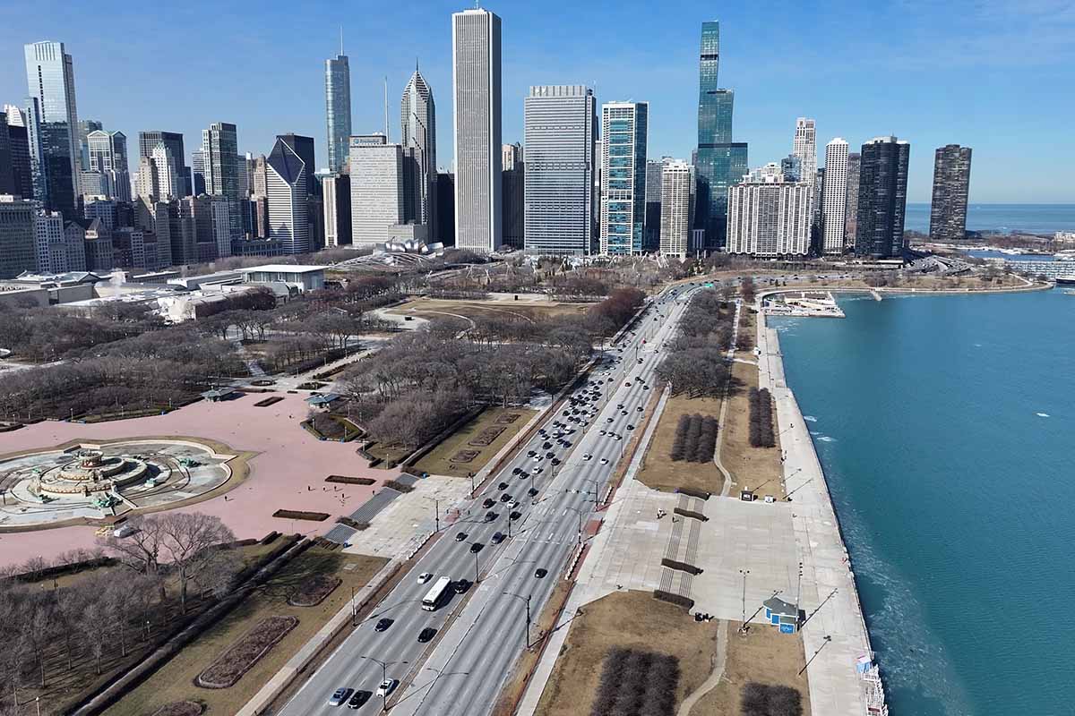
Instead of simply replacing pavement or updating traffic signals, engineers often rethink how the space functions.
The goal is to reduce conflict points between vehicles, pedestrians, and cyclists while encouraging lower vehicle speeds.
Many redesigned intersections now feature shorter pedestrian crossings created by curb extensions.
These extensions narrow the roadway at intersections, reducing the distance people must walk while also improving visibility between pedestrians and approaching drivers.
Some intersections include protected left-turn phases that separate turning vehicles from pedestrians crossing with a walk signal.
Others feature upgraded signal timing that gives pedestrians additional time to begin crossing before vehicles receive a green light.
Raised crosswalks, improved pavement markings, and more visible signage also contribute to making intersections easier for all road users to understand.
While no single design eliminates every risk, combining multiple improvements can significantly reduce opportunities for severe crashes.
Slowing Traffic Through Design
Research consistently shows that vehicle speed plays a major role in both crash frequency and injury severity.
Even modest reductions in average travel speed can lower the likelihood of serious injuries when collisions occur.
Instead of relying exclusively on speed enforcement, many Vision Zero projects encourage slower driving through roadway design.
Road diets are one example.
These projects reduce the number of travel lanes while reallocating space for bike lanes, turn lanes, landscaped medians, or wider pedestrian areas.
Narrower travel lanes naturally encourage drivers to reduce speed without dramatically affecting traffic flow in many locations.
Other projects include speed humps on residential streets, pedestrian refuge islands in wide roadways, and curb extensions that visually narrow intersections.
These changes are intended to make safer driving feel like the natural choice rather than depending entirely on driver behavior.
Improving Safety for Pedestrians
Many of Chicago’s safety improvements specifically address situations where people on foot face elevated risks.
Longer crossing times at signals allow older adults, children, and individuals with mobility challenges more time to safely reach the opposite sidewalk.
Accessible pedestrian signals help people with vision impairments navigate busy intersections by providing audible and tactile cues.
Median refuge islands allow pedestrians to cross wide streets in two stages rather than requiring them to traverse several lanes of moving traffic at once.
Better lighting also plays an important role.
Improved illumination increases visibility during early morning and evening hours, making it easier for drivers to recognize pedestrians before conflicts develop.
These upgrades recognize that streets serve more than vehicles.
They also support people walking to schools, transit stops, businesses, parks, and neighborhoods throughout the city.
Supporting Cyclists and Transit Users
Protected bike lanes, dedicated bicycle signals, and clearer pavement markings help reduce conflicts between cyclists and turning vehicles at intersections.
Transit riders also benefit from redesigned streets.
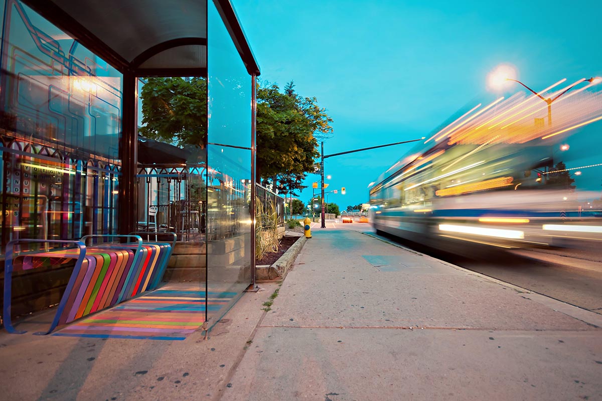
Bus boarding islands, improved crosswalk access, and safer pedestrian routes to train stations create a more predictable environment around busy transit corridors.
Because many Chicago residents combine multiple transportation options during a single trip, improving one part of the transportation network often improves overall safety throughout an area.
Designing intersections with every user in mind creates a more balanced street that better reflects how people actually travel.
Measuring Long-Term Results
Transportation officials continue monitoring crash data after projects are completed to determine whether redesigns reduce severe collisions.
This ongoing evaluation helps identify which strategies perform best under different traffic conditions.
Not every project produces identical results because neighborhoods vary in traffic volume, roadway layout, surrounding land use, and travel patterns.
However, collecting long-term data allows engineers to refine future designs and prioritize the most effective safety measures.
These evaluations also help justify future investments in additional high-risk corridors throughout Chicago.
Discussions surrounding roadway safety occasionally intersect with broader legal and insurance issues after collisions occur, and reports examining crash trends may be reviewed by transportation researchers, insurers, policymakers, or even a Chicago car accident attorney seeking to better understand recurring roadway conditions rather than any single incident.
Building Safer Streets Over Time
Chicago’s Vision Zero initiative reflects a broader shift in how cities approach traffic safety.
Rather than accepting dangerous intersections as permanent features of the transportation system, planners increasingly view them as locations that can be improved through thoughtful engineering and ongoing evaluation.
Redesigned intersections, slower traffic speeds, enhanced pedestrian crossings, and safer accommodations for cyclists all contribute to reducing opportunities for severe crashes.
While infrastructure alone cannot eliminate every collision, it can create conditions that make mistakes less likely to result in life-changing consequences.
As additional projects are completed and more data becomes available, Chicago will continue refining its approach to street design.
The gradual transformation of high-risk intersections demonstrates that meaningful safety improvements often come from many coordinated changes working together, creating streets that are more predictable, accessible, and safer for everyone who travels through the city.